This track is now well documented with the Access For All publication, ‘The Deua River Track’ written by Peter C Smith.
The river was surveyed by surveyor, Peter Ogilvie, under the direction of the Surveyor General Mitchell in May 1828, as part of the complete survey of the nineteen counties. A copy of his map exists in the State Records Office. It is accurate in its detail of the river to the 36th parallel which is south of Bendethera. Ogilvie must have followed a path up the river close to what became the Deua River Track.
The track provided for settlers living along the river possibly from as early as 1840 and was still the only means of access for the Davis family of Woolla until 1960s.
It extends from the junction of Araluen Creek to Bendethera.
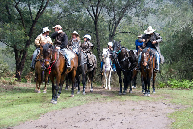
The following image shows a group of riders arriving at Bendethera after riding along the Deua River Track from Alpine.