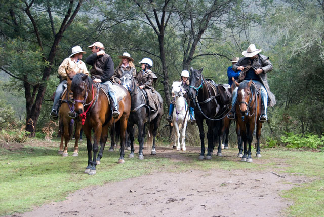
The article presents the status - as at March 2025 - of the various Bridle Tracks where Access for All (AFA) has played an active role in maintaining, clearing and documenting.
2.1 Wog/Wog/Gilbert Track – Reg Webb advised NPWS “do not have time or funds” to go with Reg to identify and mark this track. NPWS have now requested after 7 years of Reg liaising with multiple NPWS rangers about the track, that he now present the NPWS with a plan as to why this track should be officially identified and documented as a heritage track. NPWS also requesting photos which are to include before and after fires and a report forwarded to Helen Hayward.
2.2 Corn Track – Nothing to report at this meeting
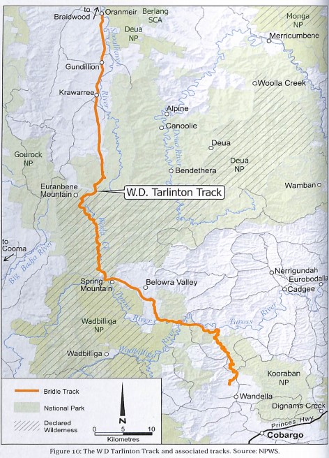
2.3 Woila Creek/Tarlinton Track – Garry Gowen advised contract work on this track is almost completed, but will not be completed by contract work until funds are available from NPWS. Michael O’Brien advised a volunteer group has started from coast end. Members at meeting consensus was that both ends of track are not far from meeting each other, both teams to figure out where each team is!
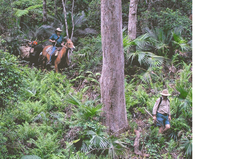
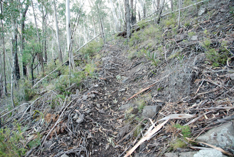
2.4 Bendethera – Terry Hart advised Bendethera regrowth remains an issue “cannot open your pocketknife” in some areas. Terry also advised Alpine to Bendethera track clearing has commenced and will be reopened eventually.
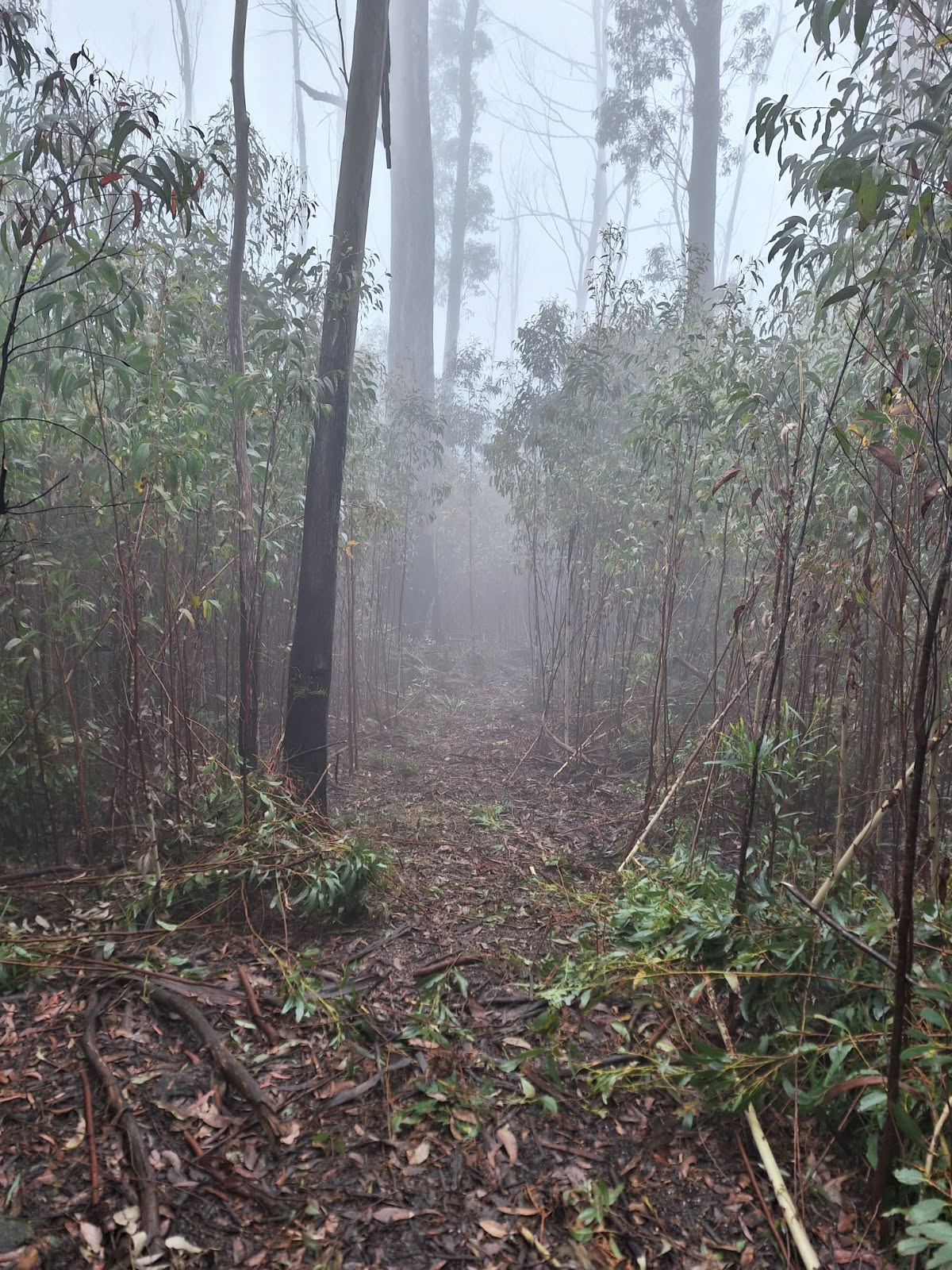
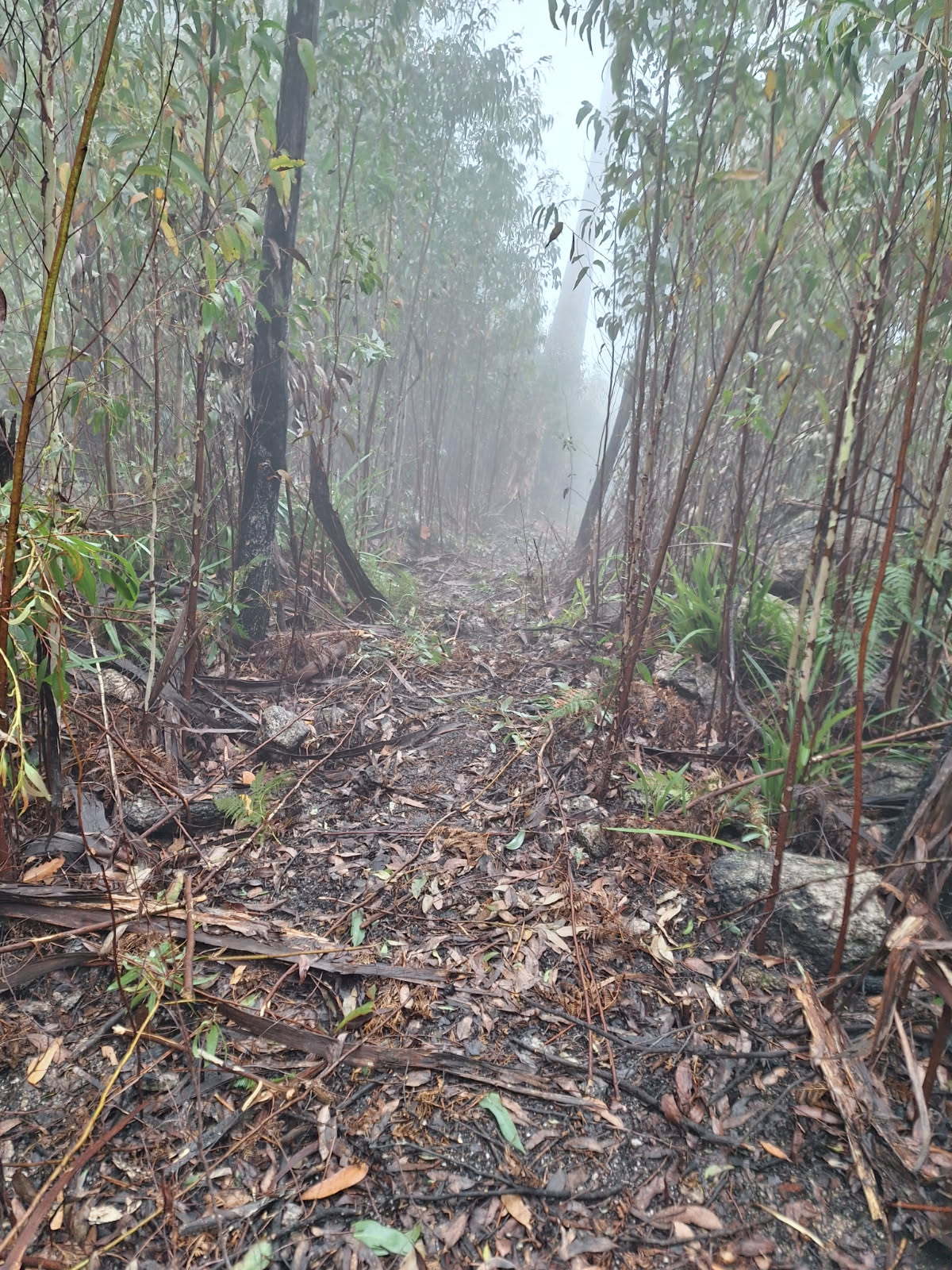
2.5 Shoebridge Track – Jillian Atkinson advised of large tree over this track, difficult to pass because of steep terrain.